There will NOT be a formal CFM exam during this conference. The CFM exam is now digital and you can set up a time and place to take the exam that fits your schedule. After attending the Conference track “Floodplain Training”, you could schedule your exam online Friday morning in your hotel room or if you prefer, go to the closest Measured Learning Testing Center at Eglin AFB (Authorized Testers Only). Either way you will need to setup your exam through ASFPM by going to https://www.floods.org/certification-program-cfm/getting-certified/#cfm-certification-process. This site will have everything you need to know about becoming an ASFPM member, signing up and taking the exam, including a complete list of Testing Center locations and study materials.
About The Venue

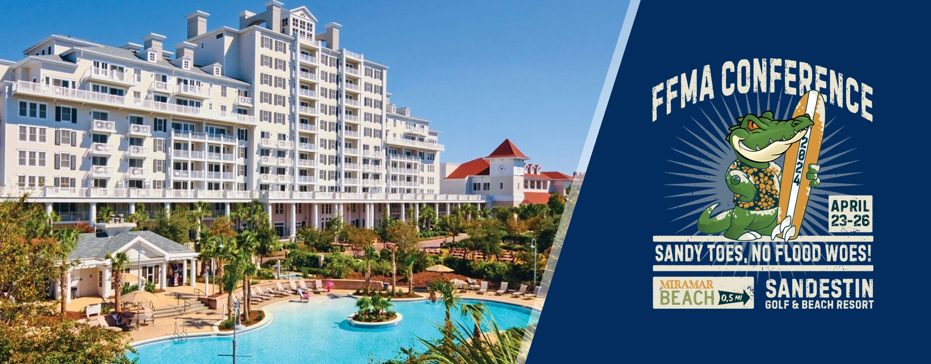
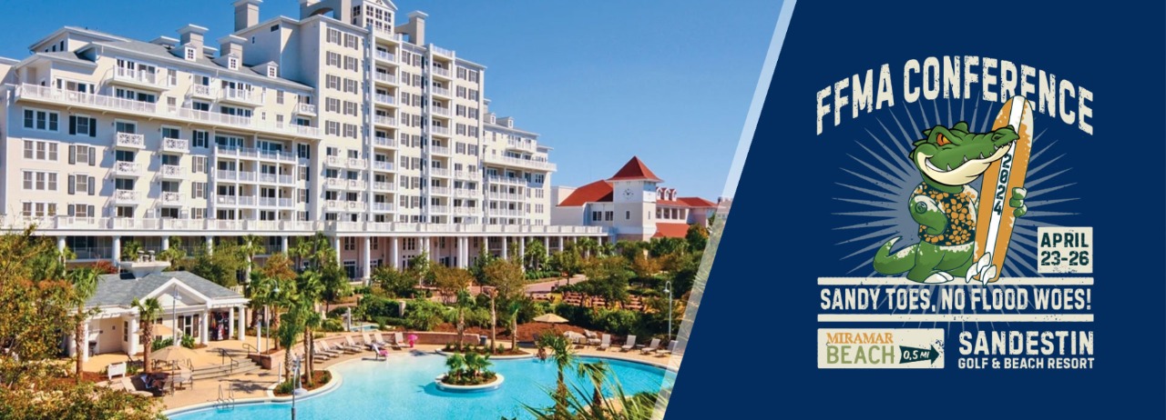
Sandestin Golf and Beach Resort
Steps from The Village of Baytowne Wharf, close to family fun-zones, shopping, dining, and live entertainment. Read more
Continuing Education Credits
(Contact Conference@FLfloods.org for daily breakdowns if needed)
Full Conference:
12 CFM CECs
18 PE PDHs
AICP TBD
Conference Registration Cost
(Early Bird Ends 2/2/24)
| Early Bird | Regular | |
| Member (Full) | $450 | $475 |
| Member (Day) | $250 | $275 |
| Non-member (Full) | $550 | $575 |
| Non-member (Day) | $350 | $375 |
| Student/Retired | $200 | $200 |
We are extremely thankful to our Sponsors for their encouragement and continued assistance!
If you are interested in Sponsoring at the 2025 Conference contact ffmadirops@gmail.com
